KFEW³O at IfM
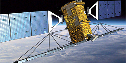
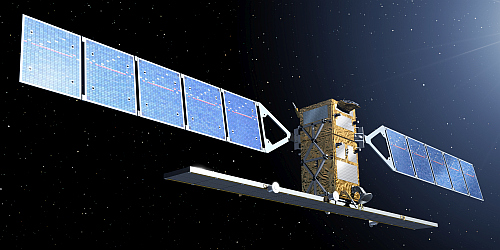
KFEW³O stands for Küsten-FernErkundung und WechselWirkungen an der WasserOberfläche (Coastal Remote Sensing and Interactions at the Water Surface). Our research is building up on satellite imagery, particularly on synthetic aperture radar (SAR) imagery of coastal regions, on field campaigns involving measurements of the radar backscattering from the sea surface, and on lab experiments in the University's wind-wave tank.
Satellite Imagery
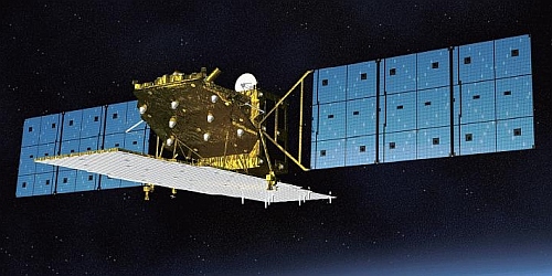
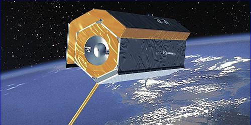
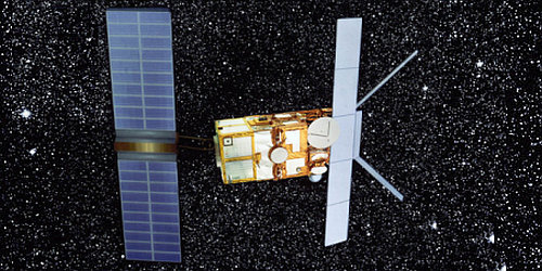
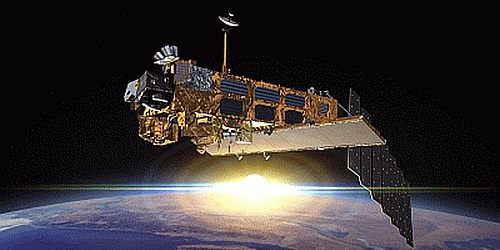
We are regularly analysing satellite images, particularly those acquired by synthetic aperture radar (SAR) sensors. These high-resolution active microwave sensors are used to derive oceanic processes and phenomena from sea surface roughness variations that manifest in spatial variations of the SAR image intensity. Below is a list of recent and actual studies based on systematic analyses of large numbers of SAR data.
Variations in the normalized radar cross section at different radar bands and polarizations can be used to gain information on the distribution of various sediments and on the location of habitats on dry-fallen sandbanks. To learn more about our studies performed together with colleagues from Bergedorf, Tönning and Wilhelmshaven, Germany, and from Beijing, China, click here.
High-resolution SAR imagery can be used to detect remnants of historical land use in areas that were lost to the sea during major storm surges. Foundations of former farmhouses as well as systems of ditches of former drainage systems can be identified of SAR imagery, whose spatial resolution is below 1 meter. These studies are performed together with colleagues from Hamburg and Tönning, Germany. To learn more click here.
Large quantities of SAR images of the German North Sea coast are used to identify morphodynamic changes in the German Wadden Sea, thereby providing indicators for coastal changes in those sensitive environments. To learn more click here.
SAR images are already being used for the operational oil-spill monitoring. These images are used for comprehensive statistical analyses that allow, e.g., for an assessment of the mean oil pollution of dedicated coastal regions and its seasonal variability. Such analyses were recently done for Indonesian coastal waters. To learn more click here.
Long time series of SAR imagery can be used to identify frequent, or even continuous, oil pollution at certain locations, e.g. by leaking oil from a sunken vessel in the western Black Sea. Our analyses help in quantifying the overall amount of oil that has been leaking from the ship wreck, and in estimating the total damage to the local and regional environment caused by that oil leakage. Click here to learn more.
SAR images, along with data acquired by other sensors, can be used to detect submesoscale and mesoscale turbulent processes at the water surface and to identify their spatio-temporal variation. Collaborative studies have been performed together with colleagues from the University's Department of Informatics, from Moscow and Ufa, Russia, and from Liège, Belgium. To learn more click here.
Wind-Wave Tank
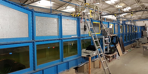
The University's wind-wave tank was built in the early 1970s and is located at the Federal Institute of Waterways Engineering in Hamburg-Rissen.
- We have been performing measurements of wave damping by monomolecular surface films, of the radar backscattering from the water surface, and of exchange processes across the water-air interface. The wind-wave tank is also used for education such as student practicals and BSc-/MSc programs.
- We focus on dynamic processes that determine fluxes of mass, energy, and momentum across the SML. Since these processes take place at spatial scales of centimeters and below, we conduct novel, simultaneous measurements at very fine scales, well below the length scales of the dynamic processes under investigation.
Scatterometer
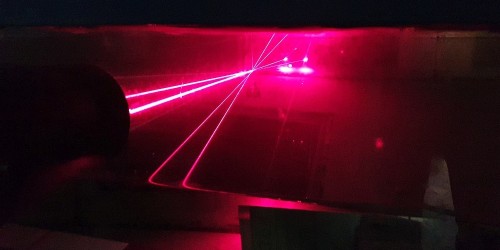
Systematic measurements of the radar backscattering from the sea surface and their analyses contribute to a better understanding of backscattering mechanisms in general and to the development of methods to derive oceanic and atmospheric parameters from such measurements. Lab experiments deploying a scatterometer were performed from the 1980s, and they were complemented in the 1990s by field campaigns in the German Bight of the North Sea, deploying a scatterometer from board a helicopter and from a radar tower.
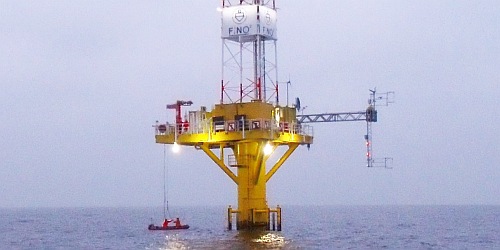 Later, longterm scatterometer measurements were performed from a research platform in the Baltic Sea. Some information is provided here.
Internal Pages
