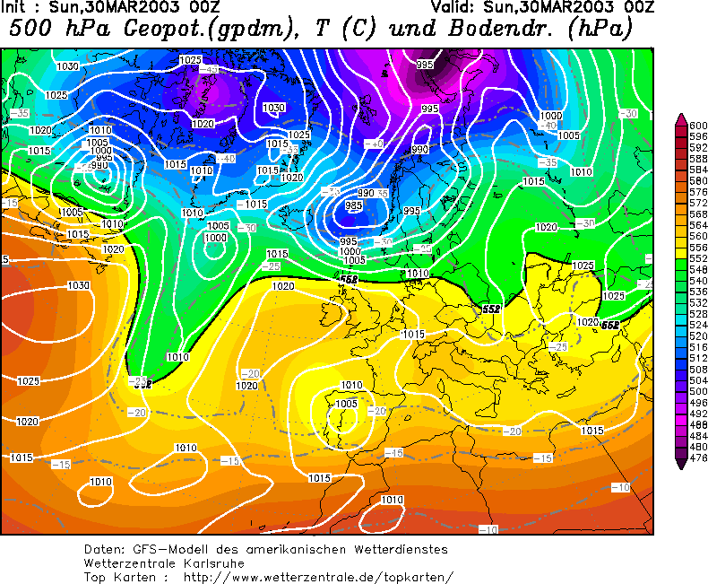
Daten
Temperaturprofile: AIRS
Hilfreiche Links:
Skript
   1 #!/bin/tcsh
   2
   3 from pyhdf import SD
   4 from pylab import *
   5 from mpl_toolkits.basemap import Basemap
   6
   7 fid=SD.SD('AIRS.2003.03.30.L3.RetStd001.v5.0.14.0.G07215021620.hdf')
   8 T=fid.select('Temperature_A')
   9 Temp=T.get()
  10
  11
  12 #Drucklevel
  13 Lv=[1000.0,925.0,850.0,700.0,600.0,500.0,400.0,300.0,250.0,200.0,150.0,100.0,
  14   70.0, 50.0,30.0, 20.0, 15.0, 10.0,  7.0,5.0, 3.0,2.0,1.5,1.0]
  15
  16
  17 # Fehlende Profile finden - Wert 1
  18 testnan=Temp[0,:,:]
  19 testnan=testnan<0
  20
  21 # Temperaturprofile
  22 figure(1)
  23 subplot(1,2,1)
  24 plot(Temp[:,16,165],Lv)
  25 ylim((1000.0,1.0))
  26 title('over ice, lat=-15,lon=74')
  27 show()
  28 subplot(1,2,2)
  29 plot(Temp[:,16,192],Lv)
  30 ylim((1000.0,1.0))
  31 title('over open water, lat=12,lon=74')
  32 show()
  33 savefig('Soundings.png',dpi=75)
  34
  35 # Kartendarstellung der vorhandenen Profile
  36 figure(2)
  37 m = Basemap(width=2400000,height=1600000,projection='stere',lat_ts=77.0,lon_0=15.0,lat_0=77.0,resolution='l')
  38 m.drawcoastlines()
  39
  40 for i in range(0,30):
  41     for j in range(160,200):
  42         if testnan[i,j]==0:
  43             x,y=m(j-180.,90.-i)
  44             m.plot(x,y,'r.')
  45
  46 x,y=m(-3.,77.)
  47 m.plot(x,y,'b.')
  48 x,y=m(10.,77.)
  49 m.plot(x,y,'b.')
  50 title('grid points with profiles(red), spectrum (blue)')
  51
  52 show()
  53 savefig('Map.png',dpi=75)
Drucklevel:
Index of T |
|
Levels |
in mb of T Levels |
1 |
1000.0 |
2 |
925.0 |
3 |
850.0 |
4 |
700.0 |
5 |
600.0 |
6 |
500.0 |
7 |
400.0 |
8 |
300.0 |
9 |
250.0 |
10 |
200.0 |
11 |
150.0 |
12 |
100.0 |
13 |
70.0 |
14 |
50.0 |
15 |
30.0 |
16 |
20.0 |
17 |
15.0 |
18 |
10.0 |
19 |
7.0 |
20 |
5.0 |
21 |
3.0 |
22 |
2.0 |
23 |
1.5 |
24 |
1 |
Notizen
 Drucklevels
  Karte mit vorhandenen Profilen - gibt es bei Wolken nie Daten? ja
  Daten zum testen:
  Koordinaten - von der Grenzschichtgruppe: Breite 77°-79°; Länge 2° bis 10°
  Profile plotten
  Grenzschichtdicke in hPa bestimmen: Werte: jeweils 14 Profile
  sind überhaupt Inversionen sichtbar? nein - Bodendruck herausfinden

 Grenzschichtdicke in Meter umrechnen barometrische Höhenformel:
 latex error! exitcode was 2 (signal 0), transscript follows:
R=287,1J/kgK; Annahme: T=const.; p=Druckniveau der Wolkenobergrenze, ps=Bodendruck aus Karte (s.o.)